
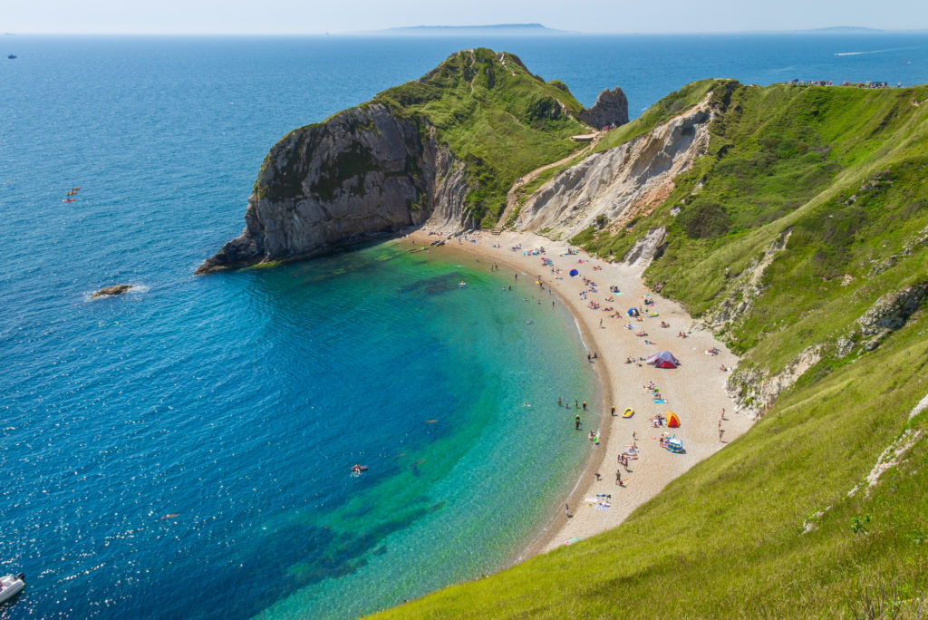
The King Charles III England Coastal Path was officially opened on 19 March 2026 – Landowners’ focus will now be on the application of the rollback provisions and whether their land is in the ‘Coastal Margin’ and whether it is ‘Excepted Land’ over which there is no public right of access.
The Coastal Margin explained: access, restrictions and Excepted Land
Natural England has some discretion to determine the Coastal Margin, however this will automatically include the land on the seaward side of the England Coast Path unless a direction (e.g. for nature conservation etc) is made. Natural England may also extend the Coastal Margin inland from the Coast Path in certain circumstances for example foreshore, dune and any cliff or bank.
Coastal margin will be subject to a public right of access, allowing walking, resting, birdwatching (etc).
The designation as Coastal Margin does not permit: use of motor vehicles or bikes; camping or lighting of fires; organised events; damage to habitats or wildlife (etc).
Rollback: moving the route to manage erosion and coastal change
In respect of the England Coast Path, it will be possible to ‘roll back’ the line of the path should land be affected by coastal change such as erosion. In order to respond to these natural coastal changes quickly, the route could be moved without needing further approval from the Secretary of State. In comparison, should a standard footpath physically disappear through erosion, the public right of way will cease to exist as the route has been destroyed. Landowners of land adjacent to the existing coastal path will need to be aware of this change.
The coastal access duty and the King Charles III England Coast Path
In respect of those areas where the route of the path is still to be determined, he Secretary of State and Natural England must ensure the creation of a route around the whole of the English coast. This should consist of one or more long-distance routes along which the public are enabled to make recreational journeys on foot or by ferry. The route is to pass over land which is accessible to the public (except to the extent that it is completed by ferry). In association with the English coastal route, a margin of land along the length of the English coast is also to be accessible to the public for the purposes of its enjoyment by them in conjunction with that route. Some land will be ‘excepted’, there is more detail on this below.
How Natural England implements the path, rollback and consultation
Natural England is tasked with determining where the route should be. In doing so, they are providing reports to the Secretary of State setting out the path of the route including establishing the Coastal Margin. Natural England (and the Secretary of State) must aim to strike a fair balance between the interests of the public in having rights of access over land and the interests of any person with a relevant interest in the land. They must also take into account the safety and convenience of the coastal route, whilst keeping in mind the desirability of making sure the route provides sea views and making sure interruptions are kept to a minimum.
What the Marine & Coastal Access Act 2009 does today (overview)
The ‘Coastal Access’ element of the Act places duties on both Natural England and the Secretary of State to establish a long-distance route around the whole of the English Coast (known as the King Charles III England Coast Path) for members of the public to access. The route is now nearing completion and therefore landowners’ focus will now be on issues relating to public access within the ‘Coastal Margin’, the extent of ‘Excepted Land’ and the potential for ‘rollback’ of the path.
Excepted land on the coast: what is and is not covered in 2026
Some Land that is Coastal Margin, will be ‘Excepted Land’. This means that the land will be shown with a coloured wash on Ordnance Survey and other maps as Coastal Margin, but there will be no rights over that Excepted Land.
Some examples of Excepted Land include: land within 20m of a dwelling; land within 20m of a building which is used for housing livestock; land covered by buildings or the curtilage of such land; land which is, or forms part of, a regulated caravan or camping site (etc). It will be important for landowners (and potential property purchasers) to understand the extent of Excepted Land and therefore which other land is subject to the rights of access.
Implications for coastal landowners: rights, obligations and objections
The England Coast Path may cross over some landowner’s private land. Natural England must take reasonable steps to consult persons with a relevant interest in affected land. If this applies to you as a landowner, you should discuss your position with Natural England during the consultation period for your area. Landowners may make objections in response to a report produced by Natural England.
The current progress of the English coastal path stretch can be found on the Government website.
Whilst coastal access will not take away ownership of the land, landowners should be aware that the public could carry out activities permitted by law on footpaths, bridleways and other public rights of way should your land be determined as part of the England Coast Path or part of the Coastal Margin.
Chris Tofts is in our marine team, he is a partner and head of planning at Stephens Scown. To discuss the content in this article call 01872 265100 or [email protected].